Asking whether the Malvern Hills can be a bit congested on a sunny Spring day, is a little like wondering if Tesco can get a little crowded the day before Christmas. It’s a small set of hills with a big catchment area – all policed by a bunch of people who seem to enjoy getting up on a Sunday and putting a tie on.
The hills are shared not only by walkers and mountain bikers, but paragliders, model gliders, sheep, protected woodland and more SSSI’s that you can shake a rural White Paper at. The result is 90{45ac9c3234d371044e23e276755ef3a4dde8f1068375defba7d385ca3cd4deb2} tolerance and 10{45ac9c3234d371044e23e276755ef3a4dde8f1068375defba7d385ca3cd4deb2} confusion.
Take this mad example; the Malverns are split in half by the county boundary between Worcestershire and Herefordshire. Apparently the Worcestershire council designated all their paths as Bridleways, but Herefordshire chose footpaths. This is even more bonkers when a scan of the OS map shows virtually none of either. The paths are just that, and I’m much more interested in good trail manners than I am with someone telling me where I can ride my bike.
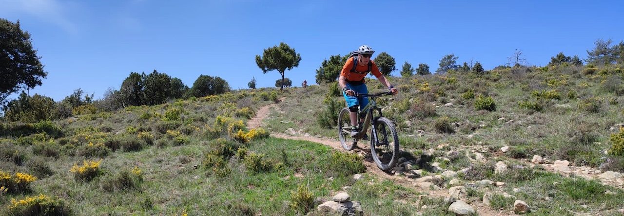
Despite a bit of car park centric congestion, Tim and I had a fantastic morning in the further reaches of the hills. Tim finally cleaned this nasty rocky outcrop near the Wyche, and I managed the same on a decent down from the Worcester Beacon. We knocked off two thousands plus feet of vertical, and finished up in the pub, catching those early spring rays.
The trails are bone dry, the bikes are dusty and the speeds are starting to come up a bit. Obviously this is all too good to be true, which seems a good time to point you to next weeks’ weather forecast.
Ah well, I’m “tapering” for HONC anyway and if that isn’t a good enough excuse, my poorly knee certainly is.

